
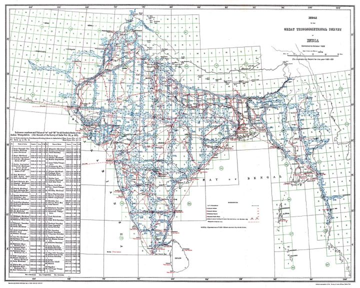
📷 Image: Wikimedia Commons / Survey of India, Government of India
Sarkari Yojana
Survey of India maps 14,866 villages in Gujarat under SVAMITVA scheme
✍️ The Hawk
🗓 03 Nov 2026, 05:31 AM
👁 18
The Survey of India has completed digital mapping of 14,866 villages in Gujarat as part of the SVAMITVA land‑record scheme, aiming to strengthen property rights for rural households.
The national mapping agency, Survey of India, announced that it has finished a detailed geospatial survey of 14,866 villages across Gujarat. The exercise is linked to the central government's SVAMITVA (Survey of Villages for Acquisition of Land for Tenure and Valuation) programme, which seeks to create reliable land‑record data for households living in rural habitations.
The mapped data will be integrated into the state's land‑records portal, enabling owners to obtain clear title documents and facilitating smoother delivery of welfare benefits. Officials said the digital maps include parcel boundaries, road networks and basic infrastructure, improving transparency for future land‑related transactions.
State authorities expect the updated records to reduce disputes, boost credit access for farmers and support the government's broader goal of formalising rural land ownership. The Survey of India team used satellite imagery and ground‑level verification to ensure accuracy before handing over the datasets to Gujarat's land‑records department.
The mapped data will be integrated into the state's land‑records portal, enabling owners to obtain clear title documents and facilitating smoother delivery of welfare benefits. Officials said the digital maps include parcel boundaries, road networks and basic infrastructure, improving transparency for future land‑related transactions.
State authorities expect the updated records to reduce disputes, boost credit access for farmers and support the government's broader goal of formalising rural land ownership. The Survey of India team used satellite imagery and ground‑level verification to ensure accuracy before handing over the datasets to Gujarat's land‑records department.