
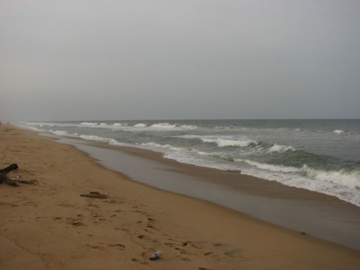
📷 Image: Wikimedia Commons / L.vivian.richard at English Wikipedia
Weather
Red and Orange Alerts Issued as Cyclone Arnab Expected to Form Over Chennai Today
✍️ Asianet Newsable
🗓 26 Oct 2026, 10:04 AM
👁 35
Meteorological officials have announced that Cyclone Arnab is likely to develop today, prompting red and orange weather alerts for Chennai and surrounding areas.
The Indian Meteorological Department (IMD) issued a bulletin stating that a low‑pressure system over the Bay of Bengal is expected to intensify into Cyclone Arnab later today. The system is projected to move north‑westward towards the Tamil Nadu coast, with Chennai in its projected path.
In response, the IMD has raised the cyclone warning to red for Chennai and orange for adjacent districts of Tamil Nadu. Authorities have instructed residents to secure loose objects, avoid coastal travel, and stay tuned to official updates.
The state disaster management authority has activated emergency response teams and is coordinating with local police and health services. Power utilities have been asked to prepare for possible outages, and schools may be closed if conditions worsen.
Residents are advised to monitor weather updates via the IMD website, mobile alerts, and local news channels. The cyclone is expected to bring heavy rainfall, strong winds exceeding 80 km/h, and possible storm surges along the shoreline.
In response, the IMD has raised the cyclone warning to red for Chennai and orange for adjacent districts of Tamil Nadu. Authorities have instructed residents to secure loose objects, avoid coastal travel, and stay tuned to official updates.
The state disaster management authority has activated emergency response teams and is coordinating with local police and health services. Power utilities have been asked to prepare for possible outages, and schools may be closed if conditions worsen.
Residents are advised to monitor weather updates via the IMD website, mobile alerts, and local news channels. The cyclone is expected to bring heavy rainfall, strong winds exceeding 80 km/h, and possible storm surges along the shoreline.