
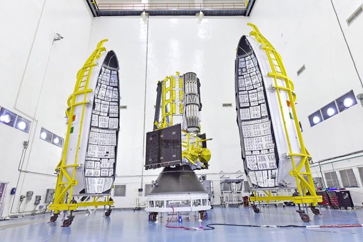
📷 Image: Wikimedia Commons / ISRO, Department of Space Government of India
Weather
ISRO’s Nisar Satellite Captures Assam’s Brahmaputra Floods from Space
✍️ India Today
🗓 27 Jul 2026, 06:04 PM
👁 49
ISRO’s Nisar satellite has captured high‑resolution images of the Brahmaputra River as it swells during the Assam floods, providing a stark view of the water’s reach.
The Indian Space Research Organisation’s Nisar satellite, launched in 2018, has taken high‑resolution images of the Brahmaputra River as it overflows during the ongoing Assam floods.
The images, captured from space, show the river’s swollen banks extending into nearby villages and agricultural fields, offering a clear visual record of the disaster’s scale.
These satellite observations are intended to aid authorities in assessing flood extent, guiding relief operations and informing future flood‑management strategies.
ISRO has released the imagery to the public and relevant government agencies, underscoring the role of space technology in disaster response.
The images, captured from space, show the river’s swollen banks extending into nearby villages and agricultural fields, offering a clear visual record of the disaster’s scale.
These satellite observations are intended to aid authorities in assessing flood extent, guiding relief operations and informing future flood‑management strategies.
ISRO has released the imagery to the public and relevant government agencies, underscoring the role of space technology in disaster response.