
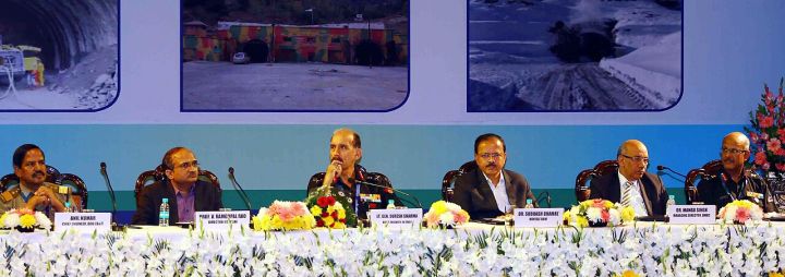
📷 Image: Wikimedia Commons / Ministry of Defence
Politics
India’s Himalayan Frontier Politics: Maps, Rivers and Consent Examined
✍️ Tibetan Review
🗓 09 Nov 2026, 03:16 AM
👁 14
The Tibetan Review analyses how maps, river rights and local consent shape legitimacy in India’s Himalayan frontier politics.
The Tibetan Review has published a feature titled “Maps, Rivers and Consent: Legitimacy in India’s Himalayan Frontier Politics”. The article examines the complex interplay of cartographic claims, water resource management and the need for local community approval in the contested Himalayan border region.
It points out that official maps often become instruments of political assertion, influencing how borders are perceived both domestically and internationally. At the same time, river systems that originate in the Himalayas flow across national boundaries, making water sharing a critical component of bilateral relations.
The piece stresses that genuine legitimacy in frontier governance requires the informed consent of the peoples living along the border, whose livelihoods are directly affected by both territorial delineation and riverine policies. It calls for inclusive dialogue that integrates strategic, environmental and socio‑cultural considerations.
By highlighting these intertwined factors, the analysis suggests that India’s policymakers must balance sovereign interests with collaborative frameworks to ensure sustainable and accepted border management in the Himalayan region.
It points out that official maps often become instruments of political assertion, influencing how borders are perceived both domestically and internationally. At the same time, river systems that originate in the Himalayas flow across national boundaries, making water sharing a critical component of bilateral relations.
The piece stresses that genuine legitimacy in frontier governance requires the informed consent of the peoples living along the border, whose livelihoods are directly affected by both territorial delineation and riverine policies. It calls for inclusive dialogue that integrates strategic, environmental and socio‑cultural considerations.
By highlighting these intertwined factors, the analysis suggests that India’s policymakers must balance sovereign interests with collaborative frameworks to ensure sustainable and accepted border management in the Himalayan region.