
📷 Image: Wikimedia Commons / Deepak Gupta
International
India objects to anomalies in UN map of Arunachal Pradesh and Aksai Chin
✍️ India Today
🗓 09 Sep 2026, 01:36 AM
👁 73
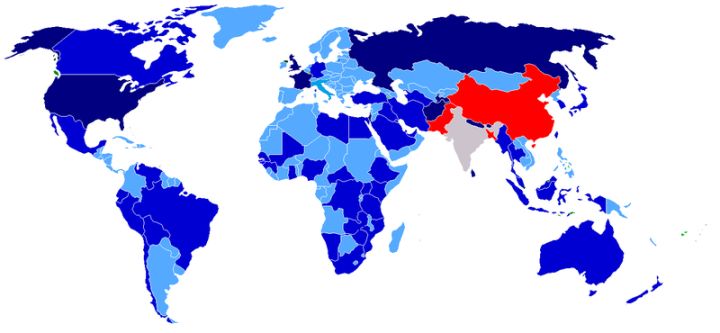
New United Nations map showing Arunachal Pradesh and Aksai Chin has been criticised by India for depicting territorial boundaries incorrectly.
India’s Ministry of External Affairs has formally raised objections to the latest United Nations cartographic product that includes the Himalayan region of Arunachal Pradesh and the disputed Aksai Chin area. The ministry’s statement describes the map as containing “anomalies” that misrepresent India’s internationally recognised borders.
The Indian government warned that such inaccuracies could influence diplomatic discourse and urged the UN to amend the depiction to reflect the positions documented in earlier UN maps and official Indian records.
New Delhi’s protest arrives against the backdrop of continuing border sensitivities with China, which also claims both territories. Accurate cartography in multilateral forums is being highlighted as essential to prevent misunderstandings.
The United Nations has not yet issued a public response to India’s concerns.
The Indian government warned that such inaccuracies could influence diplomatic discourse and urged the UN to amend the depiction to reflect the positions documented in earlier UN maps and official Indian records.
New Delhi’s protest arrives against the backdrop of continuing border sensitivities with China, which also claims both territories. Accurate cartography in multilateral forums is being highlighted as essential to prevent misunderstandings.
The United Nations has not yet issued a public response to India’s concerns.