
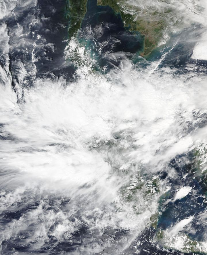
📷 Image: Wikimedia Commons / NOAA-20 / VIIRS
Weather
Cyclone Senyar Forms in Bay of Bengal, Tamil Nadu and Andhra Pradesh on High Alert
✍️ NDTV
🗓 14 Nov 2026, 03:02 AM
👁 22
A low‑pressure system has intensified into Cyclone Senyar over the Bay of Bengal, prompting Tamil Nadu and Andhra Pradesh to issue high‑level weather alerts.
The India Meteorological Department (IMD) confirmed that a low‑pressure area over the Bay of Bengal has consolidated into Cyclone Senyar, classified as a severe cyclonic storm with wind speeds nearing 120 km/h. Satellite imagery shows a well‑defined eye forming, indicating rapid intensification.
State disaster management authorities in Tamil Nadu and Andhra Pradesh have raised their alert levels to red, mobilising rescue teams, pre‑positioning relief supplies and urging residents in coastal districts to stay indoors. Coastal police have been instructed to monitor fishing vessels and advise them to remain at sea until conditions improve.
Forecasters predict that Senyar could track west‑northwestward, potentially making landfall along the Tamil Nadu coast within the next 48 hours, before moving inland towards Andhra Pradesh. Heavy rainfall, storm surges up to 3 metres and strong gusts are expected, prompting schools and government offices in vulnerable areas to remain closed.
The IMD has advised the public to heed official warnings, secure property, and keep emergency kits ready. Continuous updates will be provided as the system evolves.
State disaster management authorities in Tamil Nadu and Andhra Pradesh have raised their alert levels to red, mobilising rescue teams, pre‑positioning relief supplies and urging residents in coastal districts to stay indoors. Coastal police have been instructed to monitor fishing vessels and advise them to remain at sea until conditions improve.
Forecasters predict that Senyar could track west‑northwestward, potentially making landfall along the Tamil Nadu coast within the next 48 hours, before moving inland towards Andhra Pradesh. Heavy rainfall, storm surges up to 3 metres and strong gusts are expected, prompting schools and government offices in vulnerable areas to remain closed.
The IMD has advised the public to heed official warnings, secure property, and keep emergency kits ready. Continuous updates will be provided as the system evolves.