
📷 Image: TOI City (via NewsData)
Weather
Cyclone Murasu, a Tamil‑named storm, set to hit Andhra Pradesh coast on Nov 2
✍️ TOI City
🗓 01 Nov 2026, 05:52 AM
👁 21
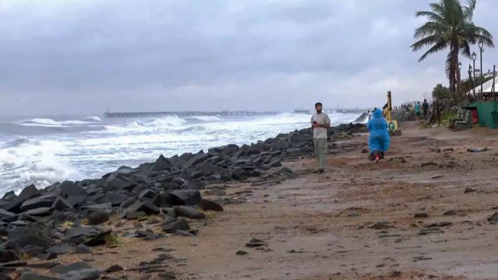
Cyclone Murasu, a Tamil name contributed by India, is forecast to strike Andhra Pradesh’s coastline on November 2, bringing heavy rain and strong winds to coastal districts and Rayalaseema.
The India Meteorological Department has confirmed that the next system to affect the east coast will be named Murasu, a Tamil word meaning "thunder". The name was submitted by India as part of the regional naming list coordinated by the World Meteorological Organization, which rotates contributions from member countries.
Weather models indicate that Murasu will move north‑westward across the Bay of Bengal and make landfall along Andhra Pradesh’s coastline on November 2. The cyclone is expected to produce widespread heavy rainfall, gusts exceeding 80 km/h, and possible storm surges in low‑lying coastal areas as well as the interior Rayalaseema region.
The alert comes just days after Cyclone Arnab devastated parts of the state on October 28, prompting authorities to place Andhra Pradesh on high alert. State disaster management teams have been instructed to ready evacuation plans, reinforce shelters, and monitor river levels as the new system approaches.
Residents in vulnerable districts have been advised to stay indoors during the peak of the storm, secure loose objects, and follow instructions from local officials. The IMD will issue updates every three hours as the situation evolves.