
📷 Image: Wikimedia Commons / Michal Klajban
Science
Assessment Teams Visit Two High-Altitude Glacial Lakes in Uttarakhand to Evaluate Flood Risk
✍️ The Times of India
🗓 08 Sep 2026, 11:49 PM
👁 46
Specialist teams have traveled to two high‑altitude glacial lakes in Uttarakhand to conduct on‑site risk assessments for potential outburst floods.
Government and scientific agencies have dispatched field teams to Uttarakhand to examine two glacial lakes perched at elevations above 4,500 metres. The mission aims to gather real‑time data on lake volume, moraine stability and downstream vulnerability.
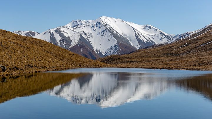
The lakes, located in the higher reaches of the Chamoli and Pithoragarh districts, have shown rapid expansion in recent years due to accelerated glacier melt. Their steep surrounding slopes and loose moraine dams make them prone to sudden breaches that could trigger flash floods in populated valleys.
Surveyors are employing drone mapping, GPS‑based bathymetry and water‑quality testing to create detailed hazard models. Findings will feed into the state’s disaster‑risk management plan and guide any necessary engineering interventions.
Experts warn that climate‑induced glacial melt is increasing the number of such lakes across the Himalayas, underscoring the importance of periodic assessments to safeguard downstream communities.
The lakes, located in the higher reaches of the Chamoli and Pithoragarh districts, have shown rapid expansion in recent years due to accelerated glacier melt. Their steep surrounding slopes and loose moraine dams make them prone to sudden breaches that could trigger flash floods in populated valleys.
Surveyors are employing drone mapping, GPS‑based bathymetry and water‑quality testing to create detailed hazard models. Findings will feed into the state’s disaster‑risk management plan and guide any necessary engineering interventions.
Experts warn that climate‑induced glacial melt is increasing the number of such lakes across the Himalayas, underscoring the importance of periodic assessments to safeguard downstream communities.